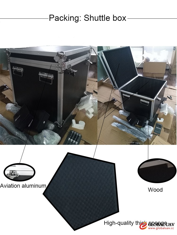
- Packaging Details:
- 1set/box
- Delivery Detail:
- within 3~20 business days after payment
| Body length | 2.55m |
| Height | 0.7m |
| Wingspan | 3.4m |
| Maximum take off weight | 35kg |
| Maximum payload | 9kg |
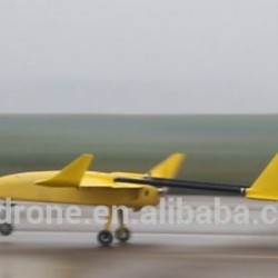
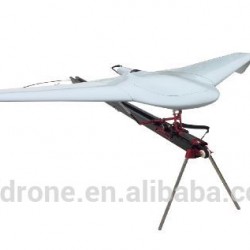
| Take-off and landing approach | catapult launch, runway landing, Parachute |
| Launch speed | 70km/h |
| Sinking speed | 75Km/h |
| Maximum climbing speed | 6m/s |
| Cursing speed | 100-110km/h |
| Maximum flying speed | 120km/h |
| Flight endurance | 6h |
| Maximum work height | Altitude 5500m |
| Maximum wind resistance | 6level(10.8-13.8m/s) |
| Power system | Two cylinder two stroke 110cc |
| Launch system weight | 55Kg |
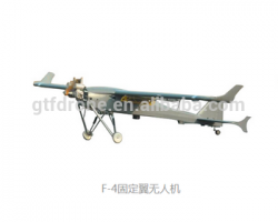
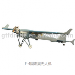
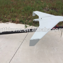
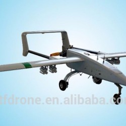
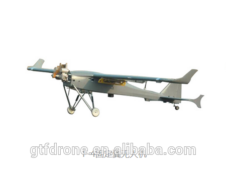
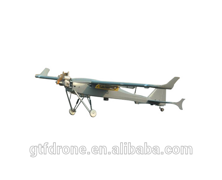
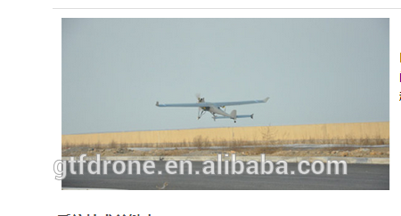
F-4 Small multi purpose UAV
The development of high-performance fixed wings(F-4) is specifically for remote sensing monitoring tasks. The F-4 system has high reliability and convenient maneuverability etc. Excellent quality, optimized aerodynamic layout at the same time, equipped with automatic parachute ejection take-off system, it can be mounted to a frame digital camera and completely changed independently operating characteristics, provide users with more convenient, more reliable control, the use of more flexible and more simplified to manipulate personnel training requirements, the operation of F-4 can be 12 hours fast training, one key take-off, fully automatic flight routes, fixed-point landing. To compared with same weight UAV, F-4 has a relatively long flight time. After a series of aerial remote sensing and testing, F-4 remote sensing system has been successfully applied in aerial survey, disaster monitoring and assessment, emergency monitoring, forest fire prevention and fire fighting, investigation of land and resources and other fields.
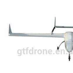
F-4 adopted big lift-to-drag ratio andexcellent performance of the high lift airfoils, provide more equipmentinstallation space and longer battery life. Maximum task load is 9 kg, capable tocarrying more pixels of image sensor. At the same time, F-4 system automationdegree is high, the whole flight process using automatic ejection, automaticopen umbrella, no special requirements for the take-off venue, it can adapt tothe complex environment, greatly enhance the practicability of small electric Uavsfor the common user.
1,Using high quality composite materials, high precision molds and all kinds of precision parts and electrical and mechanical equipment, guarantee the reliability and stability of the system;
2,Use advanced GPS navigation or RTKpositioning system based on high precision flight control, through systemintegration and software system of secondary development, realize that theaerial could satisfy the requirement of spectral remote sensing and measuringprocess fully automated and over-the-horizon homework;
3,Equipped with independent development routeplanning software, according to the measured area polygon vertex coordinates,and all kinds of spectral remote sensing, aerial parameters, such as scale andoverlap rate quickly generate optimal flight shooting files and task report;
4,Equipped with portable ground controlstation or laptop, available through wireless data link control softwarereal-time monitoring, and job status, flexible flight control of UAV;
5,Professional hyperspectral cameras anddigital camera with stable gimbal which can effectively control the attitude ofthe image within a margin of error;
6,Gyro stabilized elector-optical gimbal, canmake the camera stable in any location continuous video monitoring;
7,First spectral remote sensing UAV system in China.Combine camera and the light of advanced performance for UAV system, theinitial one to accomplish miniaturization of spectral remote sensing andpractical application in domestic.
8,Landing distance is short, don't needspecial runway, strong adaptability;
9,Strong wind resistance, F-4 can steady workunder six level;
10,Removable, it can be finished in 15 minutesassembly, debug and recycling without special tools. All the equipment can beloaded in a ten medium size bus.
Packaging & Shipping