The core tips of the drone used by the Ministry of Environmental Protection: In addition to the conventional use of drones for delivery, environmental monitoring and law enforcement assistance, "non-mainstream" forms of play such as fishing, tennis and even entertainment have emerged in an endless stream. The use of drones is "enriching the imagination" of the MEP's drones.
With the increasing maturity of spectral sensing technology and image processing and analysis software, drone multi-spectral software and hardware integration degree, observation accuracy and ease of use have been greatly developed. Drone multi-spectral remote sensing has been widely used in agriculture, forestry, resources, ecology, environmental protection and other fields.
once high-tech products come out, innovative practical applications will be spread out, and the diversified demands of practical applications will promote the upgrading of technologies and products. The same rule applies to the booming development of drone products. With all kinds of drone products, how to play? The answer to this question is various, and some even appear "not the answer"
Hyperspectral Remote Sensing is a short term of Hyperspectral Remote Sensing. It is a technique for obtaining many very narrow spectral continuations of image data in the visible, near-infrared, mid-infrared, and thermal infrared bands of the electromagnetic spectrum.
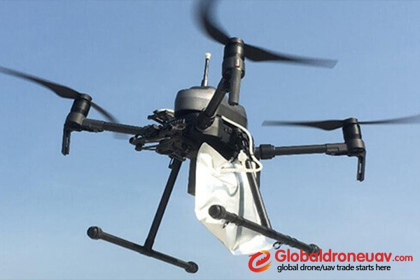
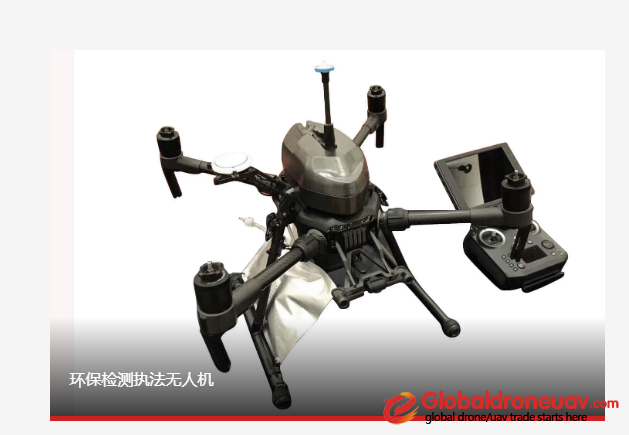
Drone used by the Ministry of Environmental Protection (MEP) have become an important auxiliary tool for the environmental protection industry, which can test the water quality and air quality in the environment
In the past few years, as specialization in drones has accelerated, many government departments have introduced drones with sensors to monitor the hydrological environment. Yangzhou environmental monitoring Station used four unmanned aerial vehicles for test flight, so as to try to monitor the water quality safety of the eastern route of the South-to-North Water Diversion project. The Water Quality Monitoring Team of Wenzhou Medical University also uses drones to assist in the Sanyang Wetland's investigation and sampling of water quality, plankton and large aquatic animals and plants, so as to achieve the Sanyang Wetland's goal of ecological restoration and water management.

