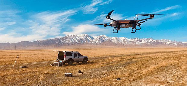
Drones are the Swiss Army Knife of mapping. As the commercial use of drones continues to grow, it collects data and observations for agriculture, mining, utility inspection, natural resources, historical preservation, safety and more applications.
Drones carry out high-risk missions and keep personnel safe from harm. They fly in places and conditions that are difficult or impossible for aircraft to reach. They collect high-resolution images of the entire spectrum, along with precise positioning and location data. They can detect and help preserve the past in detail.
A study by Polaris Market Research predicts the drone market will reach $15.62 billion by 2026, driven not only by new use cases, but also by the miniaturization and improvement of components. Payload components are continuously improved, including GNSS receivers, inertial measurement units, MEMS components, all types of cameras (RGB, thermal, hyperspectral and high-resolution video) and lidar. In any case, no matter what application is used, the use of drones can provide a wealth of

