AeroVironment has announced that its automated Quantix hybrid drone and AeroVironment Decision Support System (AV DSS) analytics software are now available for sale through its authorized reseller network.
“We are offering farmers the first fully integrated drone, sensor and software information solution, that’s as easy to use as an app, for collecting and using aerial imagery,” said Kirk Flittie, vice president and general manager of AeroVironment’s Unmanned Aircraft Systems business segment. “Farmers can now survey their entire farm more efficiently and accurately, on their schedule, to enable better decision making and farm management.We think this represents a turning point for the commercial use of drone technology, and we look forward to helping farmers everywhere gain information superiority in their ongoing battle against uncertainty.”
With Quick-Look, farmers can view Quantix data in the field after each flight, offering a near real-time view of their farm. For higher resolution, advanced analytics, and historical trend analysis, imagery is processed through AV DSS using proprietary algorithms. “Throughout the development of Quantix and AV DSS we worked closely with growers to identify the most meaningful benefits delivered by our drone ecosystem,” said Jeff Rodrian, Commercial Information Solutions director. “We helped farmers use aerial imagery and analytics to assess the effectiveness of their growing processes, improve their scouting efficiency, and learn from changes in historical data to make improvements year-over-year.”
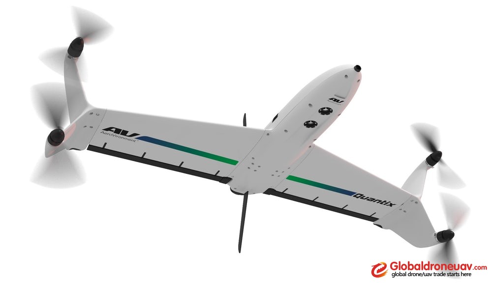
The complete solution includes an automated Quantix hybrid drone with integrated true color and multispectral cameras, controller tablet with flight software and Quick-Look maps to conduct in-field assessments, battery and charger, plus a one-year subscription to AV DSS software delivering image processing, advanced analytics, comparative analysis and historical reporting. Users can also download the AV DSS Survey Mobile App that allows them to collect and upload georeferenced images and notes automatically to AV DSS.

