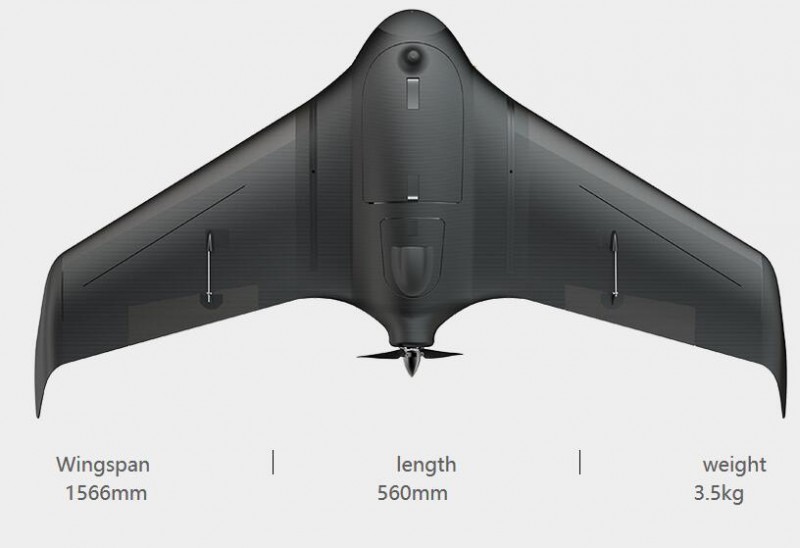

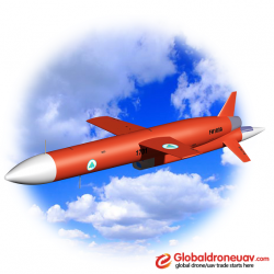
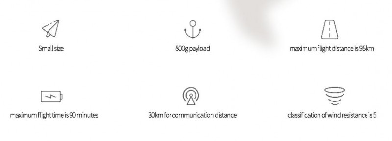
A high precision aerial photography solution
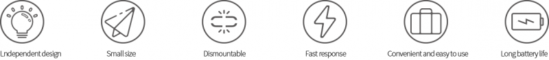
Unicorn system is easier and safe to operate and provide the high precision. It has the advantage of small size and big payload. Anyone can operate it well.
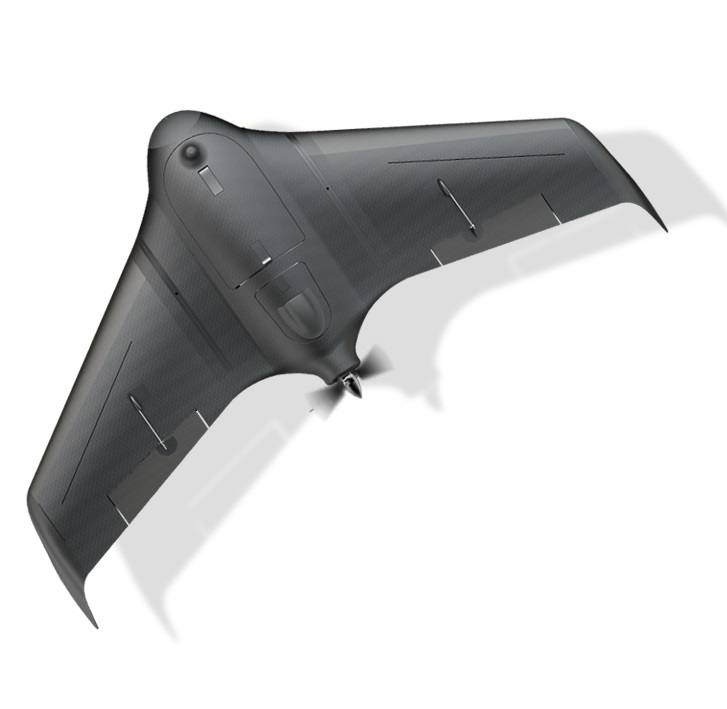
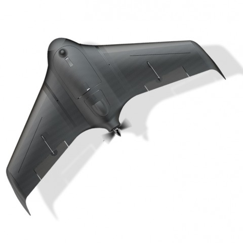
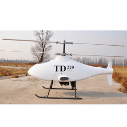
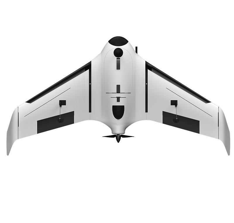
Many colors
Black and white
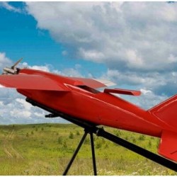
White and red
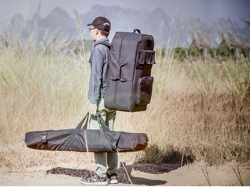
Portable
The body adopts a modular design,so it can be quickly disassembled and loaded into a backpack, which is easy to carry.
Precision integration, stable and reliable
Strictly observes aerodynamic design, uses long-life industrial-grade parts which make it can undertake high-intensity work
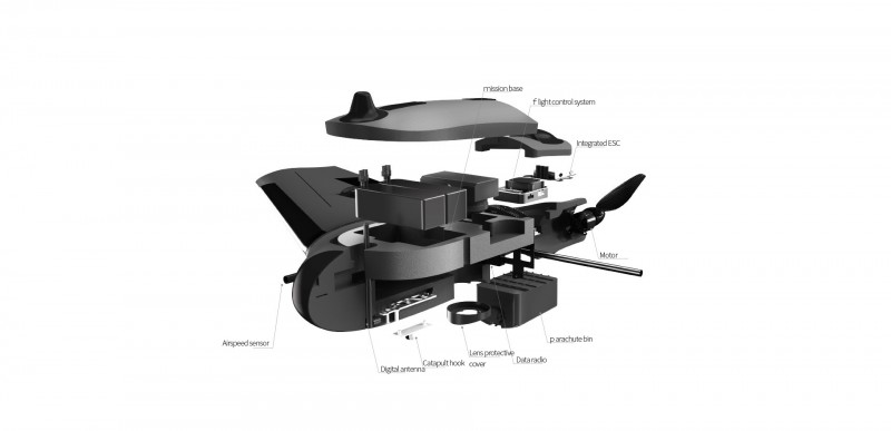
Precision integration, stable and reliable
Strictly observes aerodynamic design, uses long-life industrial-grade parts which make it can undertake high-intensity work
Independent research, stable performance
-
Autopilot
-
Data radio
-
Panda2
UNICORN autopilot is a flight control system designed for Unicorn aircraft, adopts inertial strapdown attitude calculation and combines with kalman digital filtering and fusion algorithm. It not only highly integrated GPS positioning module, airspeed sensor and pressure sensor, but also integrated data radio with transmission distance up to 30KM, which make it has the advantage of high integration, install conveniently, and the performance is stable and reliable.
-
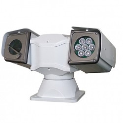
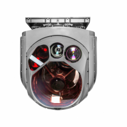
Camera
-
RTK
-
Orthoimage
-
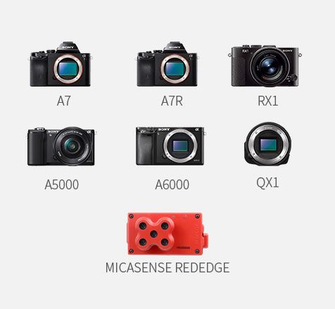
The payload is 800g
Unicorn can adapt payload weight without adjusting parameters
Automatic optimal control strength, compatible with a variety of cameras.
RTK
Unicorn can be compatibility with most of RTK/PPK from market, realizing precision positioning to centimeters, saving over 90% of image control points, and meeting the requirement of 1:500 aerial survey precision. Provide high precision and reliable positioning system for aerial survey.
Orthoimage
Orthoimage is a kind of digital surveying and mapping product, it is characterized by geometric accuracy, mathematical accuracy and image features. Good effectiveness, strong practicability, being easy to get data, short production cycle, it can well meet the needs of many industries in society, improves production efficiency and decrease production cost.