Specifications
- Type:
- Gyroplane
- Condition:
- New
- Year Built:
- 2015
- Place of Origin:
- Hubei, China (Mainland)
- Model Number:
- MC4-S-V
- Product name:
- aerial mapping and survey commercial drone
- Model:
- MC4-S-V
- Material:
- 1000mm
- Max Thrust:
- 3.8 kg
- Wheelbase:
- 500 mm
- Max Power:
- 720 w
- Suggest Take-off Weight:
- 1.3 kg
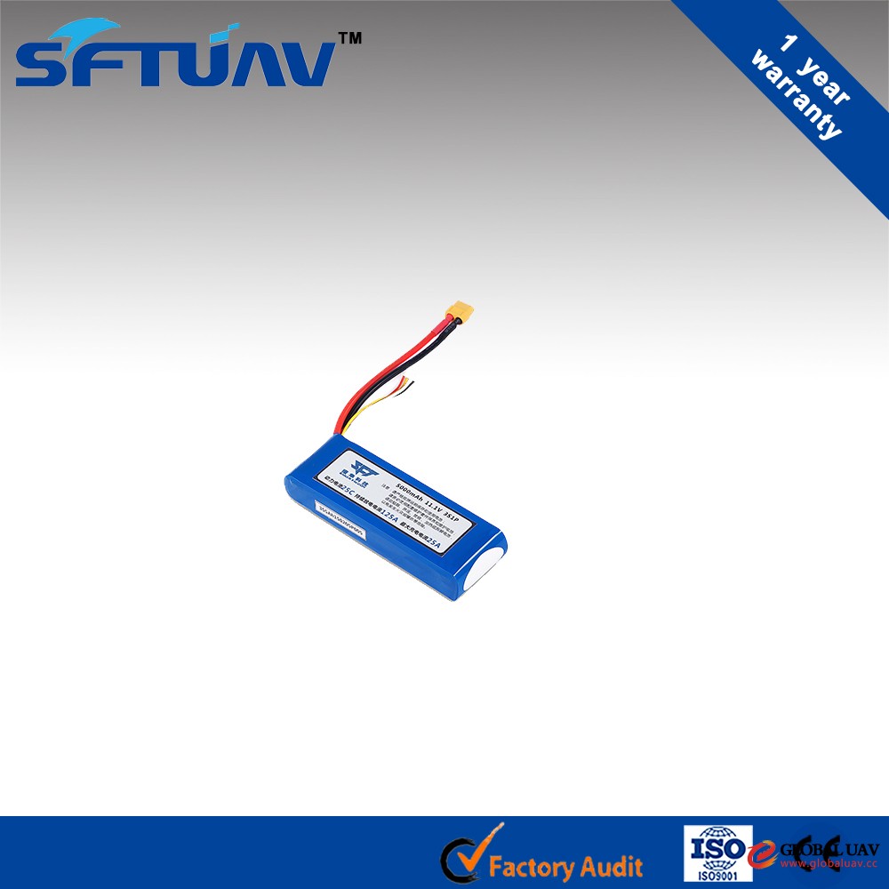
- Battery data:
- 3S 5 Ah
- Max Flying Speed:
- 60 km / h
- Anti-wind Grade:
- Level 4
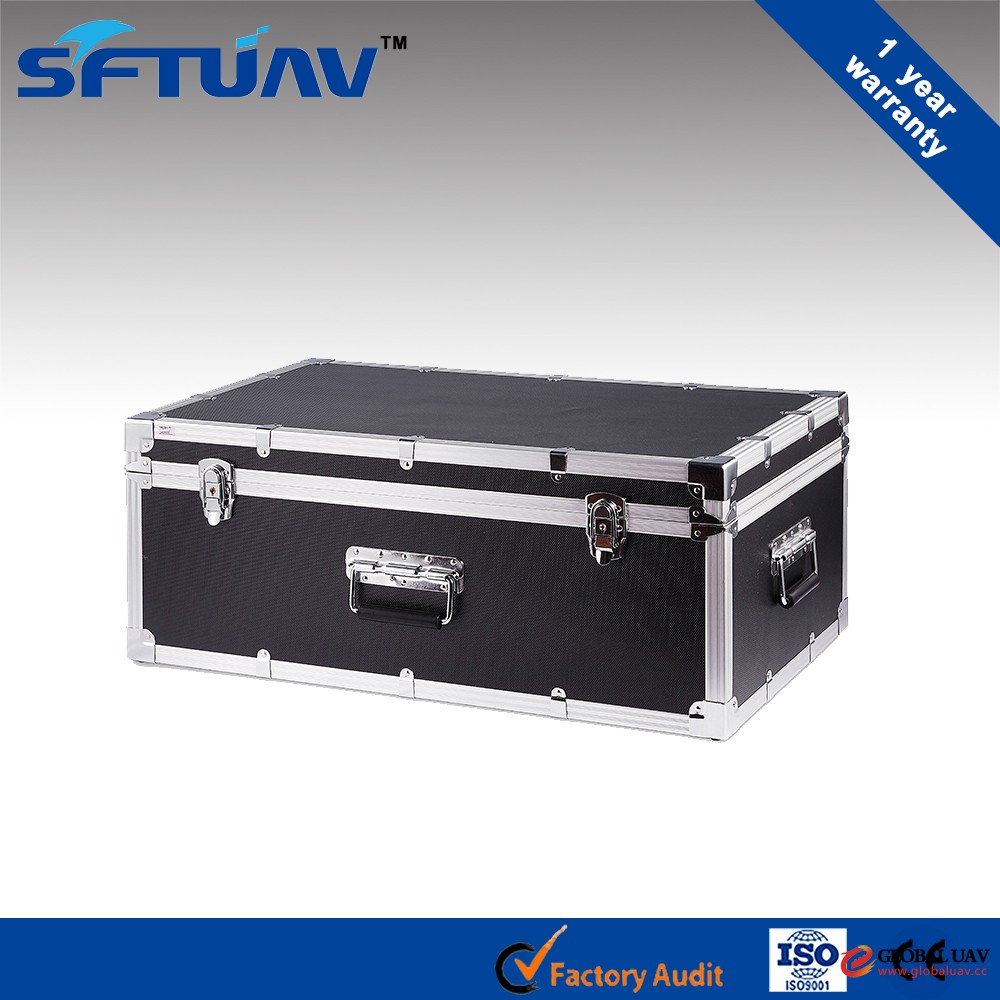
- Packaging Details:
- Flight case for inner package, international standard wooden case for outer package.
- Delivery Detail:
- 18-22 Working Days
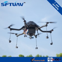
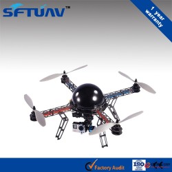
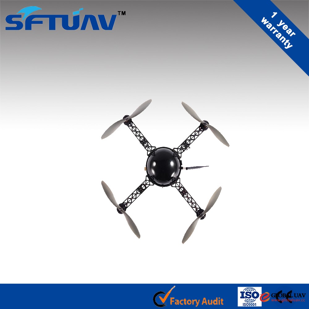
aerial mapping and survey commercial drone
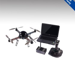
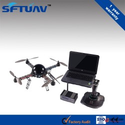
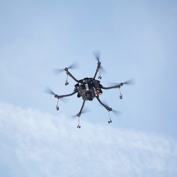
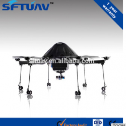
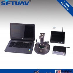
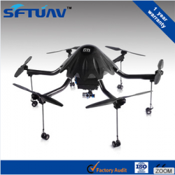
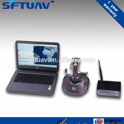
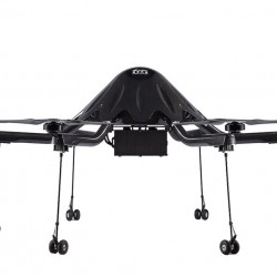
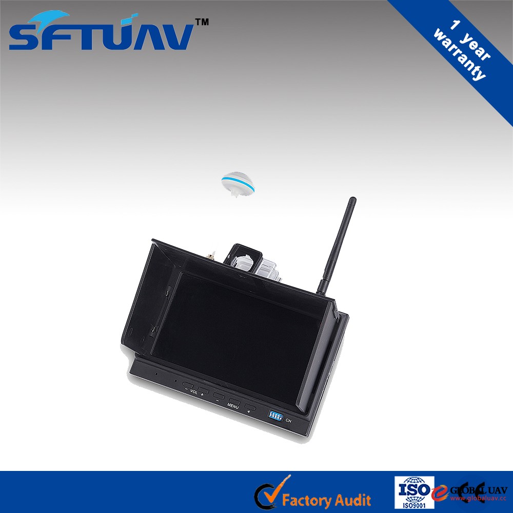
Product DescriptionMC6-NX UAV system includes multi-rotor aircraft and ground stations, including: multi-rotor aircraft fuselage is made of carbon fiber material which is refined by integrally molding process, sturdy and durable, very light weight, bring higher load carrying capacity and longer cruising duration, overall unit adopts a streamlined design, effectively reduce wind resistance, with excellent ability against rain, snow and wind resistance; ground stations install rich functions flight mission planning software, achieve task route planning, fully autonomous flight, data broadcasting, storage and other functions.
Function & Characteristics
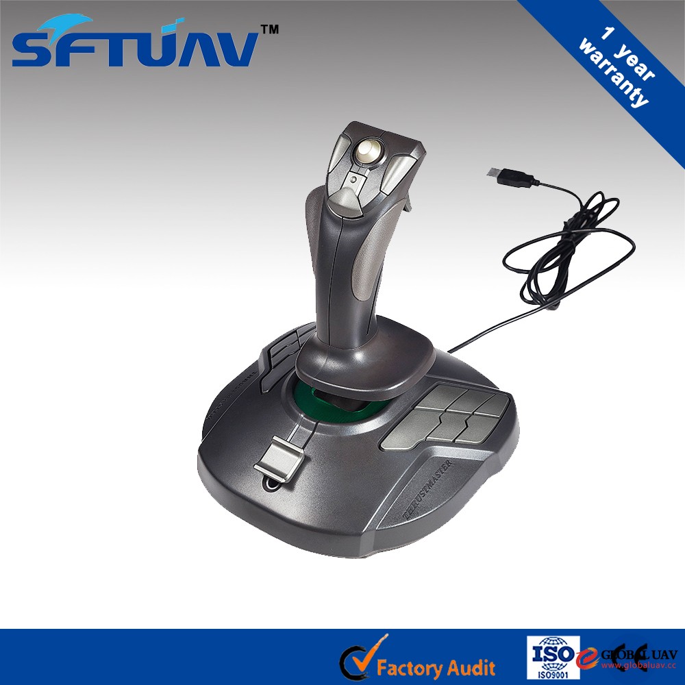
1. Autonomous flight according to the flight mission planning routes or control flight with handheld controller.
2. With independent security return function.
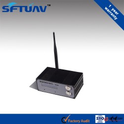
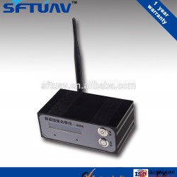
3. With data link, real-time transporting the UAV flight parameters and vidicon images.
4. Real-time monitoring the UAV flight parameters (position coordinates, altitude, speed, remaining power, etc).
5. Customized load according to needs, fast switching the task load.
6. Smart retractable landing gear, to avoid blocking the sight line.
Vehicles Technical Parameters
|
Model |
MC4-S-V |
|
|
Wheelbase |
500 mm |
|
|
Max Power |
720 w |
|
|
Max Thrust |
3.8 kg |
|
|
Suggest Take-off Weight |
1.3 kg |
|
|
Energy efficiency programs |
Battery Data |
3S 5 Ah |
|
Battery Weight |
360 g |
|
|
Max Flying Time (Endurance) |
25 min |
|
|
Max Flying Speed |
60 km / h |
|
|
Anti-wind Grade |
Level 4 |
|
|
Anti Small / Moderate Rain and Snow |
N / A |
|


Q1:AreSaker Falcona trader or a manufacture?
A1:We are an industry and trade integration business.
Q2: What equipment does a whole set of products contain?
A2: Presently, the leading product is unmanned multi-rotary wing mission system with advanced intelligent equipment data chain , include:
1. Multi-rotary wing unmanned aerial vehicle (quadrotor / six-rotor).
2. UAV task payload (universal programs / customized programs).
3. Airborne black box data and analysis supporting equipment.
4. Separated ground control station / Integrated ground stations.
5. Platform Application Software (ground mission planning software / flight data analysis software / server core software).
6. UAV ground maintenance kit (portable multi-function ground maintenance box / ultra high-speed floor maintenance kit).
7. Portable GPS / Beidou information terminal.
Q3:What advantages ofyour Product?
A3:.Mission Payloads Fast Switch-The Same Payloads+Various of Mission Payloads
.Five Remote Controls Integration Ground-to-air CommunicationsData link
.Multi-Network Fusion and Motion Control
Automation Cluster Control
Q4:What is your use of the positioning system?
A4:Our UAV carrier supports USA GPS satellite positioning, China Beidou satellite positioning, Russia Glonass satellite positioning, provides high precision positioning Of Yami meters level in the highest, meets high-precision positioning needs of various industries.
Q5:What about Quality Control?
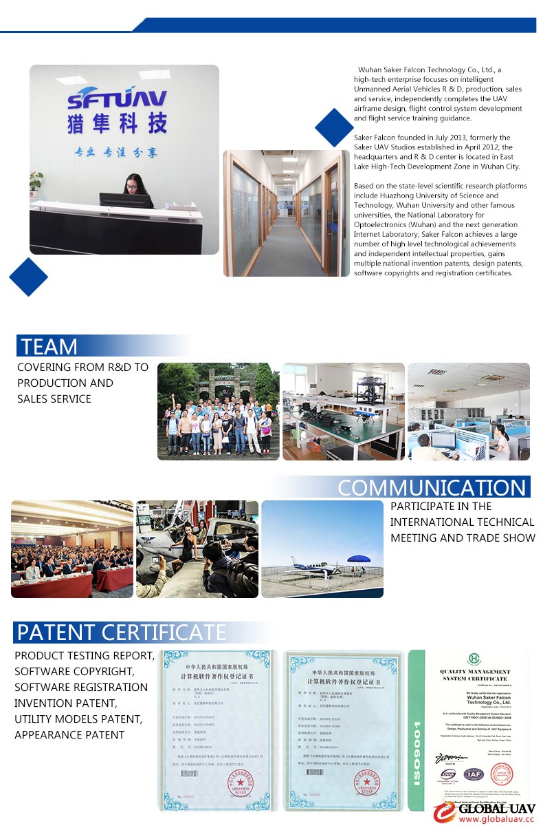
A5:Saker Falconhave a perfect QC system to sure the quality.we achieves a large number of high level technological achievements and independent intellectual properties, gains multiple national invention patents, design patents, software copyrights and registration certificates.
Q6:what payment terms you can accept?
A6: Telegraphic Transfer(T/T) or L/C.